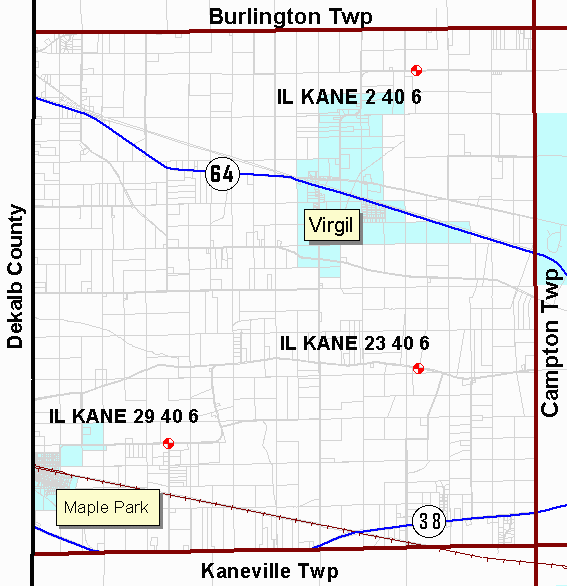
Virgil Township
Kane County Illinois
Geodetic Control Monuments
| Control Point Name | Street | Cross Street | Location Drawing |
Photo (yr. 2000) |
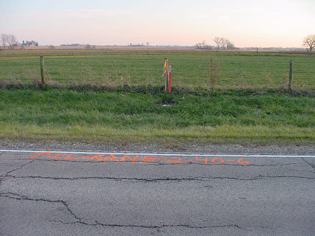
| IL KANE 2 40 6 | Lees Rd | Wartford Rd | photo | |
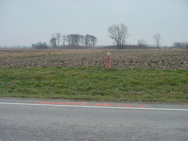
| IL KANE 23 40 6 | Beith Rd | Francis Rd | photo | |
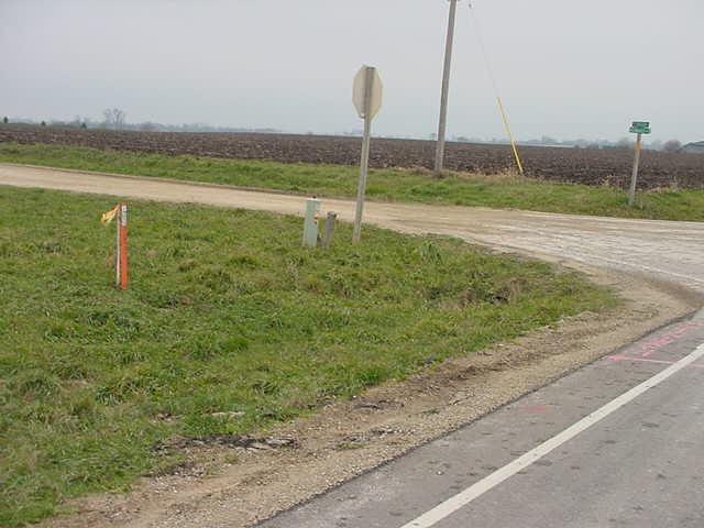
| IL KANE 29 40 6 | Thatcher Rd | Howard Rd | photo | |
|
NGS Data Sheets Control Point Name breakout is STATE COUNTY SECTION TOWNSHIP RANGE |
||||