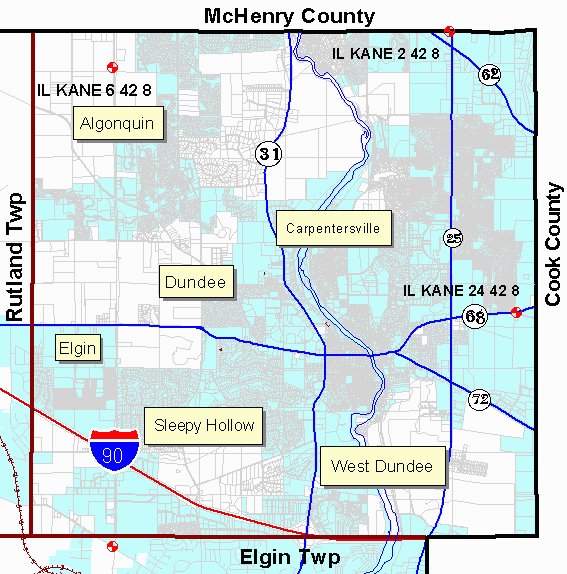
Dundee Township
Kane County Illinois
Geodetic Control Monuments
| Control Point Name | Street | Cross Street | Location Drawing |
Photo (yr. 2000) |
| IL KANE 2 42 8 | Lake-Cook Rd | Rt 25 | photo | |
| IL KANE 6 42 8* | Randall Rd | N County Line Rd | photo | |
| IL KANE 24 42 8 | Penny Rd | Rt 68 | photo | |
|
NGS Data Sheets Control Point Name breakout is STATE COUNTY SECTION TOWNSHIP RANGE |
||||
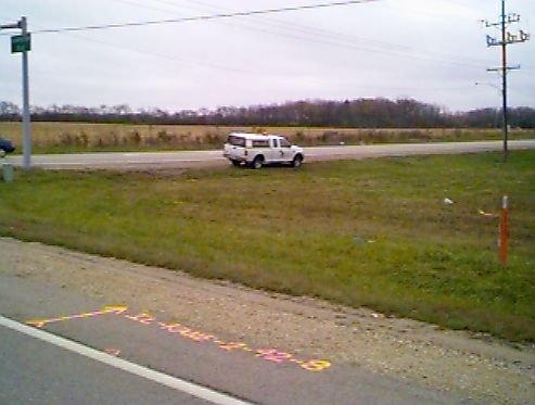
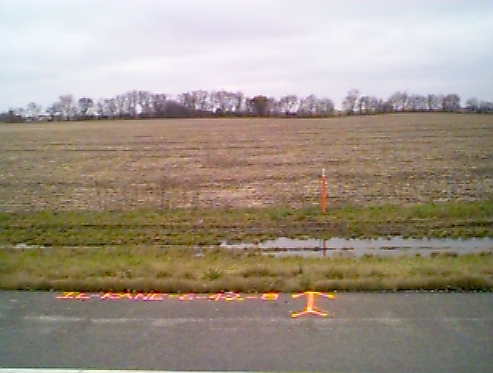
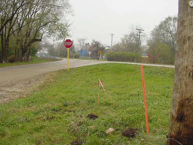
* IL KANE 6 42 8 has been destroyed